

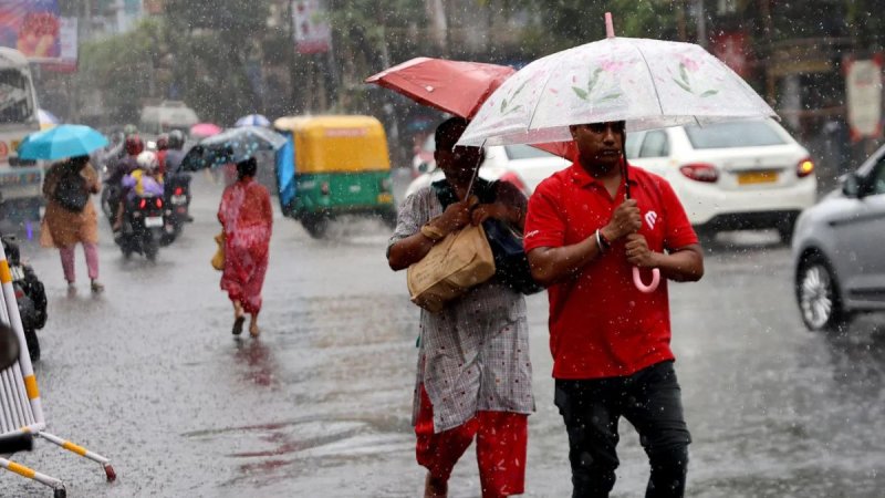

Under the influence of this system, Showers or thundershowers will occur at times in most parts of the island and Cloudy skies are expected.
Heavy falls above 100 mm are likely at some places in Western, Sabaragamuwa, Central, Southern, North-western and Northern provinces.
The general public is kindly requested to take adequate precautions to minimize damage caused by temporary localized strong winds and lightning during thundershowers.
GENERAL WEATHER FORECAST FOR NEXT 36 HOURS
Issued at 04.00 p.m. on 10 May 2026.
The low-level atmospheric disturbance in the vicinity of Sri Lanka is likely to develop into a low-pressure area around the next 48 hours according to the latest weather analysis based on May 10th morning.
Therefore, the prevailing showery conditions over the island are expected to continue during the next few days.
Under the influence of the aforementioned system, Showers or thundershowers will occur at times in most parts of the island and Cloudy skies are expected.
Heavy falls above 100 mm are likely at some places in Western, Sabaragamuwa, Central, Southern, North-western and Northern provinces.
The general public is kindly requested to take adequate precautions to minimize damage caused by temporary localized strong winds and lightning during thundershowers.

