

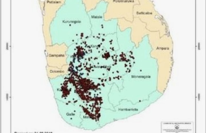
Mountainous areas, which account for nearly 30% of Sri Lanka’s land area, are spread over 14 districts and remain at high risk of landslides. The National Building Research Organization (NBRO) currently uses landslide hazard zone maps to identify slopes showing early signs of instability. By 2023, NBRO had completed hazard mapping for most of the country’s landslide-prone regions.
However, experts said that these maps only indicate areas showing signs of landslide initiation. Effective risk management requires a more comprehensive approach—identifying not just the initiation zones but also the debris flow paths and deposition zones.
To address this gap, NBRO has proposed a new methodology, known as the Red and Yellow Zone Determination Method, to map Total Impact Zones and better predict the extent of potential damage.
The approved project is expected to significantly enhance landslide risk assessment and disaster preparedness, supporting early warning systems and safer development planning in vulnerable regions.