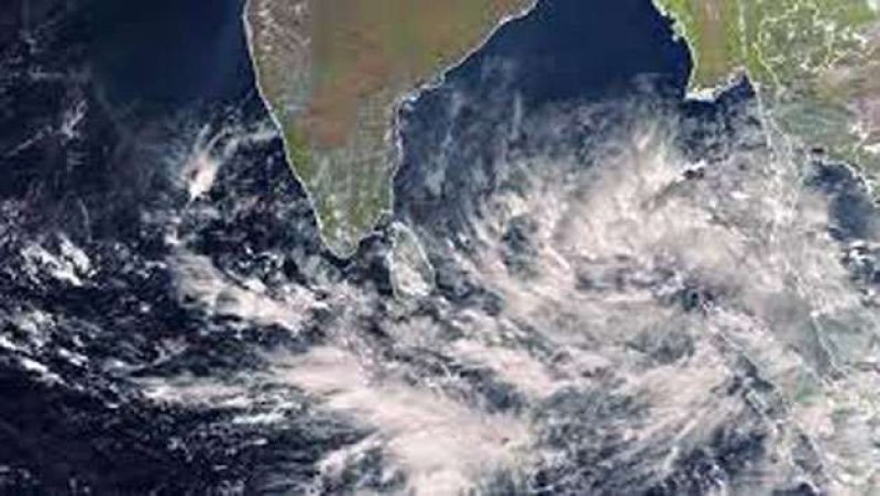
The Department of Meteorology has announced that a deep depression over the southwest Bay of Bengal is slowly moving north-northwest towards closer to Sri Lanka's eastern coast, with the potential to intensify further.
As of 11:30 a.m. on November 28, 2024, the system was positioned approximately 130 km northeast of Trincomalee and 150 km east of Mullaittivu. The Met Department expects its impact on the island’s weather to diminish gradually after tomorrow (November 29).
Heavy rains and strong winds are already being felt across various parts of the country. Northern and North-central provinces, along with the Trincomalee District, are experiencing intermittent showers or thunderstorms, with heavy rainfall exceeding 100 mm anticipated in certain areas of the Northern Province.
Additionally, periodic showers are affecting the Western, Sabaragamuwa, and North-western provinces, as well as Galle District. Evening or nighttime showers or thundershowers are expected in other areas of the island.
Winds reaching speeds of up to 60 km/h are forecast over the Northern, North-Central, Northwestern, Central, and Eastern provinces. The deep and shallow sea areas surrounding Sri Lanka are described as rough to very rough, with wind speeds ranging from 60 to 70 km/h. Swell waves between 2.5 and 3 meters are expected in the sea areas off the coast from Batticaloa to Kankasanthurai via Trincomalee, which could lead to near-shore surges.
The Met Department has urged fishing and naval communities to avoid venturing into these sea areas until further notice and to remain alert to future advisories. The general public is advised to be cautious about possible extreme weather conditions between November 28 and 29 and to seek assistance from local disaster management authorities if needed.
Disaster Management Center
Hotline: 117
Emergency Lines: 0112 136 222, 0112 670 002
Sri Lanka Police
Emergency Numbers
011 – 2027148
011 – 2472757
011 - 2430912
011 – 2013051
For Tamil language assistance, call Hotline 107