Showery weather in the southwestern parts of Sri Lanka is expected to increase over the next few days, starting today (19), according to the Department of Meteorology.
Showers will occur at times in the Western, Sabaragamuwa and North Western provinces, as well as in Galle, Matara, Kandy and Nuwara Eliya districts.
Fairly heavy rainfall exceeding 50 mm is possible in some areas of Sabaragamuwa Province and in Kandy and Nuwara Eliya districts.
Showers or thundershowers are also expected at several places in Uva Province and in Mullaittivu, Batticaloa and Ampara districts after 2.00 p.m.
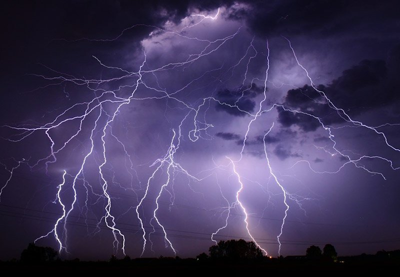
The public has been advised to take necessary precautions against temporary strong winds and lightning during thundershowers.
Meanwhile, the Meteorology Department said a low-pressure area is likely to form over the Andaman Sea in the Bay of Bengal today, resulting in increased wind speeds over the Bay of Bengal in the coming days. Naval and fishing communities operating in the area have been urged to remain vigilant and follow future weather forecasts and warnings.
Winds around Sri Lanka are expected to be southwesterly at 30–40 kmph, while speeds could increase to 50–60 kmph at times in the sea areas from Matara to Pottuvil via Hambantota.
Those sea areas are expected to be rough at times, while the sea areas from Puttalam to Kankesanthurai via Mannar could be fairly rough.
Wave heights may increase to around 2.0–2.5 metres in the sea areas from Puttalam to Pottuvil via Colombo, Galle and Matara. Temporary strong gusty winds and very rough seas are possible during thundershowers.