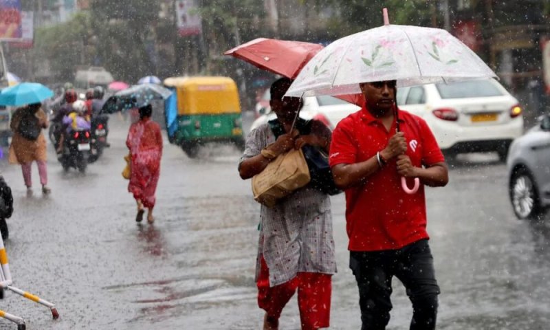
Showers or thundershowers are expected at several places in the Uva, Central and Eastern provinces, as well as in the Polonnaruwa and Mullaittivu districts after 2.00 p.m. today (04), according to the Department of Meteorology.
Several spells of showers are also expected in the Western and Sabaragamuwa provinces and in the Galle and Matara districts.
The public has been advised to take adequate precautions to minimize damage caused by temporary localized strong winds and lightning during thundershowers.
Meanwhile, the Department said the Sun will be directly overhead Sri Lankan latitudes from August 28 to September 7 due to its apparent southward relative motion. Today, the Sun is expected to be directly overhead Nittambuwa, Algama, Malwana, Aranayake, Meegahakiula and Panamkadu at around 12.09 p.m.
Sea areas
Showers may occur at a few places in the sea areas off the coast extending from Chilaw to Matara via Colombo and Galle.
Showers or thundershowers may occur at several places in the sea areas extending from Mullaittivu to Pottuvil via Trincomalee and Batticaloa during the evening or night.
South-westerly winds are expected, with speeds of 30–40 kmph. Wind speeds may increase to 50–60 kmph at times in the sea areas extending from Hambantota to Pottuvil, while speeds of up to 50 kmph are possible from Kankasanthurai to Puttalam via Mannar.
The sea areas from Hambantota to Pottuvil will be rough at times, while those from Kankasanthurai to Puttalam via Mannar may be fairly rough.
Wave heights may increase to around 2.0–2.5 metres in the sea areas extending from Puttalam to Pottuvil via Colombo, Galle and Matara.