


Showers or thundershowers may occur at a few places in Uva province and in Ampara, Batticaloa and Mullaitivu districts after 2.00 p.m.
Fairly strong winds about (30-40) kmph can be expected at times over Western slopes of the central hills, North-central, North-western and Southern provinces and in Trincomalee district.
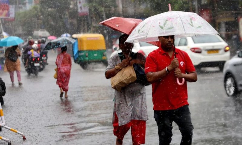
The general public is kindly requested to take adequate precautions to minimize damage caused by temporary localized strong winds and lightning during thundershowers.
WEATHER FORECAST FOR SEA AREAS AROUND THE ISLAND DURING NEXT 24 HOURS
Condition of Rain:
Showers or thundershowers will occur at several places in the sea areas off the coast extending from Chilaw to Matara via Colombo and Galle.
Winds:
Winds will be south-westerly. Wind speed will be (30-40) kmph. Wind speed can increase up to (50-60) kmph at times in the sea areas off the coast extending from Galle to Pottuvil via Hambantota.
State of Sea:
The sea areas off the coasts extending from Galle to Pottuvil via Hambantota will be rough at times. The other sea areas around the island can be fairly rough at times.
The wave height may increase about (2.0 – 3.0) meters in the sea areas off the coast extending from Chilaw to Pottuvil via Colombo, Galle and Hambantota. There is a possibility that near shore sea areas off the coast extending from Beruwala to Matara via Galle, may experience surges due to swell waves.
Temporarily strong gusty winds and very rough seas can be expected during thundershowers.