The Department of Meteorology has issued a weather advisory as the active southwest monsoon continues to bring enhanced showery conditions across several parts of Sri Lanka.
Showers or thundershowers are expected at times in the Western, Sabaragamuwa, and North-western provinces, as well as in the Nuwara-Eliya, Kandy, Galle, and Matara districts. Some of these areas could experience heavy rainfall exceeding 100 mm, increasing the risk of localized flooding and landslides.
The general public is urged to take precautions against potential hazards caused by temporary strong winds and lightning associated with thundershowers.
Elsewhere, isolated showers may occur, while strong winds between 40-50 kmph are expected intermittently over the western slopes of the central hills and in the Northern, North-central, North-western provinces, as well as Hambantota and Trincomalee districts.
Sea Area Forecast
The Department also warns of adverse sea conditions around the island during the next 24 hours:
Showers or thundershowers are likely in sea areas from Puttalam to Hambantota via Colombo and Galle.
Wind speeds in most sea areas will range from 40-50 kmph, with gusts up to 60-70 kmph in areas from Chilaw to Kankasanthurai via Puttalam and Mannar, and from Galle to Pottuvil via Hambantota.
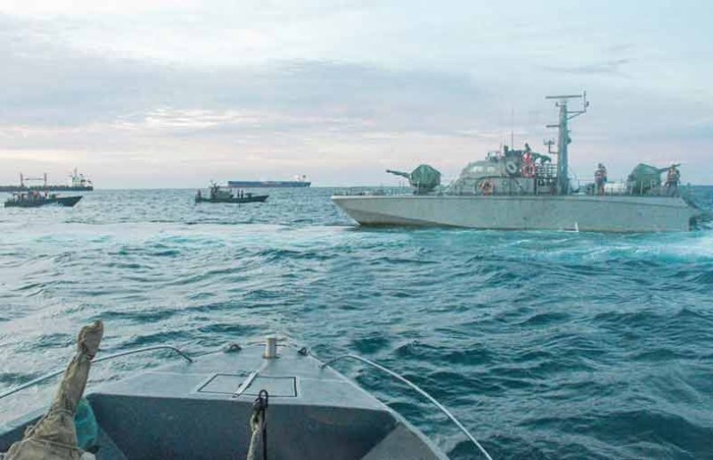
These areas will be very rough at times, and naval and fishing communities are strongly advised not to venture into these waters until further notice.
Other areas, including from Kankasanthurai to Trincomalee via Mullaittivu, may also experience rough seas with gusty winds and swell waves.
Wave heights may rise between 2.5 to 3.0 meters, particularly along the coastline stretching from Mannar to Pottuvil. Nearshore areas may experience sea surges due to swell waves.
Fisherfolk and maritime operators are advised to remain vigilant and follow further updates from the authorities.