PLEASE BE AWARE! The Depression over Southwest Bay of Bengal has intensified in to a Deep Depression and located near latitude 10.5°N and longitude 84.1°E, at 0530hrs of 02 December and about 380 km northeast of Trincomalee.
Warning for strong winds and rough seas. Issued by the Natural Hazards Early Warning Centre Issued at 11.00 a.m. 02 December 2023, valid until 11.00 p.m. 02 December 2023 For Naval and Fisherman communities in the deep and shallow sea areas in the southwest Bay of Bengal
PLEASE BE AWARE! The Depression over Southwest Bay of Bengal has intensified in to a Deep Depression and located near latitude 10.5°N and longitude 84.1°E, at 0530hrs of 02 December and about 380 km northeast of Trincomalee. It will develop into a Cyclonic storm by December 03, 2023. The system is expected to move west northwestward near North coast of Sri Lanka towards North Tamil Nadu coast of India by December 04, 2023. Thereafter, it would move northwards as a Cyclonic Storm and cross South Andhra Pradesh coasts December 05, 2023.
It is dangerous to engage in activities in the sea areas off the coast extending from Mannar to Pottuvil via Kankasanthurai, Trincomalee and Batticaloa. Therefore, Naval and fishing communities are advised not to venture into the above sea areas until further notice. Naval and fishing communities are engaged in activities in the sea areas off the coast extending from Galle to Pottuvil via Matara are request to be vigilant. Fishing and naval community are requested to be attentive to future forecasts issued by the Department of Meteorology in this regard. |
Condition of Rain: |
Showers or thundershowers will occur at times in the sea areas off the coast extending from Puttalam to Galle via Mannar, Kankasanthurai, Trincomalee, Pottuvil and Hambantota. Showers or thundershowers will occur at several places in the other sea areas around the island particularly during the evening or night. |
Winds: |
Winds will be north-westerly or westerly and wind speed will be (30-40) kmph in the sea areas around the island. Wind speed may increase up to (60-70) kmph in the sea areas off the coast extending from Mannar to Pottuvil via Kankasanthurai, Trincomalee and Batticaloa and up to (50-60) kmph in the sea areas off the coast extending from Galle to Pottuvil via Hambantota. |
State of Sea: |
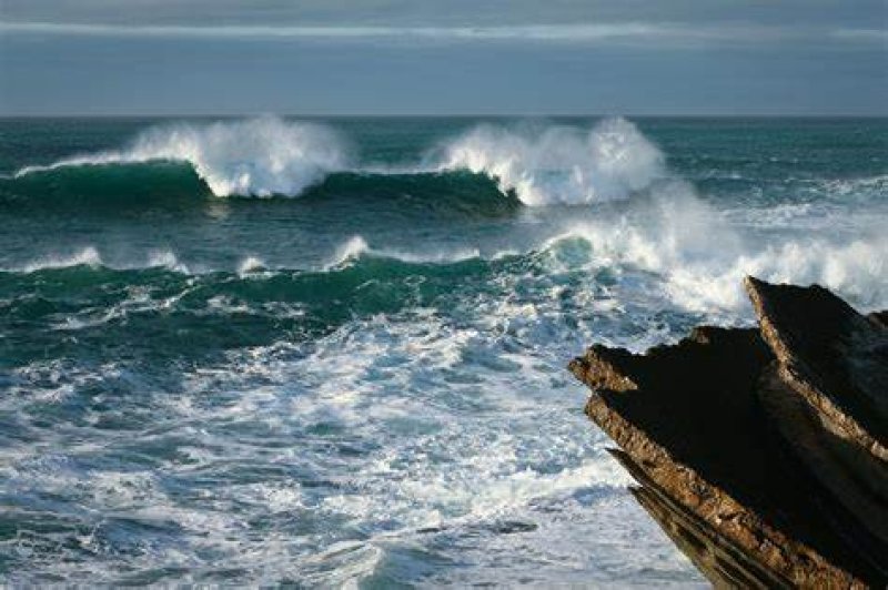
The sea areas off the coast extending from Mannar to Pottuvil via Kankasanthurai, Trincomalee and Batticaloa will be very rough at times. The sea areas off the coast extending from Galle to Pottuvil via Hambantota can be rough at times and the other sea areas around the Island can be fairly rough at times. Temporarily strong gusty winds and very rough seas can be expected during thundershowers. |
Date/Time (SLST) (Hrs) Position (Lat. oN/ Long. oE) Maximum wind speed (Kmph) Category of cyclonic disturbance 02.12.23/1730 11.0/83.3 55-65 kmph gusting to 75 kmph Deep Depression 03.12.23/0530 11.8/82.5 60-70 kmph gusting to 80 kmph Cyclonic Storm 03.12.23/1730 12.5/81.9 70-80 kmph gusting to 90 kmph Cyclonic Storm 04.12.23/0530 13.5/81.1 80-90 kmph gusting to 100 kmph Cyclonic Storm 04.12.23/1730 14.5/80.5 85-95 kmph gusting to 105 kmph Cyclonic Storm 05.12.23/0530 15.5/80.7 85-95 kmph gusting to 105 kmph Cyclonic Storm 05.12.23/1730 16.5/81.1 70-80 kmph gusting to 90 kmph Cyclonic Storm 06.12.23/0530 17.6/82.2 45-55 kmph
LAST 24 HOURS

Max. Temperature 31.0°C
Rathnapura / Rathmalana

Min. Temperature 14.6°C
Nuwara Eliya

Max. Rainfall 104.7mm
Alampil (Mullaitivu)