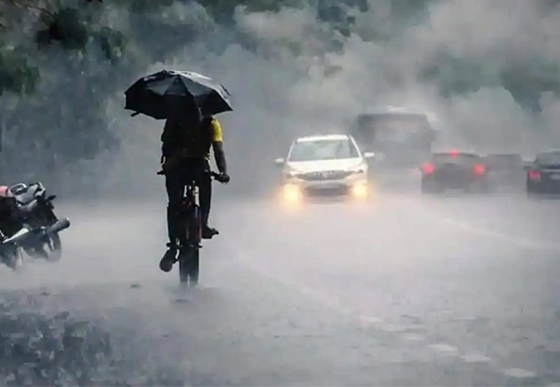
General public is kindly requested to take adequate precautions to minimize damages caused by temporary localized strong winds and lightning during thundershowers.
Showers or thundershowers will occur at times in Western, Sabaragamuwa, Southern and North-western provinces and in Kandy and Nuwara-Eliya districts.
Fairly heavy showers above 75mm can be expected at some places in Western, Sabaragamuwa and Southern provinces.
Showers or thundershowers will occur at several places in Eastern and Uva provinces and in Polonnaruwa, Matale and Mullaitivu districts during the evening or night.
LAST 24 HOURS

Max. Temperature 35.1°C
Mullaitivu

Min. Temperature 15.7°C
Nuwara Eliya

Max. Rainfall 127.9mm
Poddiwela farm (Galle)
WEATHER FORECAST FOR SEA AREAS AROUND THE ISLAND DURING NEXT 24 HOURS
Issued at 05.30 a.m. on 07 October 2023
Condition of Rain: |
Showers or thundershowers will occur at times in the sea areas off the coast extending from Puttalam to Hambantota via Colombo, Galle and Matara. |
Winds: |
Winds will be south-westerly and speed will be (20-40) kmph. Wind speed can increase up to 50 kmph at times in the sea areas off the coast extending from Puttalam to Kankasanthurai via Mannar, and from Hambantota to Pottuvil. |
State of Sea: |
The sea areas off the coast extending from Puttalam to Kankasanthurai via Mannar, and from Hambantota to Pottuvil may be rough at times. Temporarily strong gusty winds and very rough seas can be expected during thundershowers Fleet ForecastFF-13 FLEET FORECAST Issued by the National Meteorological Center, Department of Meteorology Sri Lanka. To: CBO Radio/Fisheries/SL Navy/CBO Port/Coast Guard Shear line is approximately along : EQ 60E, 02S 68E, EQ 72E, 02N 75E, 05N 85E, 06N 90E, 05N 100E Winds: South of Shear line Seas: **Seas can be temporarily very rough during thundershowers. |