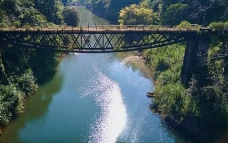
A minor flood was observed at the Mahaweli Ganga gauging station in Manampitiya, where the water level reached 4.40 metres, slightly exceeding the minor flood level of 4.30 metres. Authorities said the water level at the location is continuing to rise and is being closely monitored.
In contrast, all other major river basins recorded water levels within normal limits.
In the Kelani Basin, stations at Nagalagam Street (2.20 ft), Hanwella (2.95 m), Glencourse (11.24 m), Kithulgala (1.58 m), Holombuwa (1.05 m), Deraniyagala (1.06 m) and Norwood (1.10 m) remained at normal levels.
Similarly, water levels in the Kalu Basin were reported as normal at Putupaula (1.26 m), Ellagawa (7.47 m), Rathnapura (4.65 m), Magura (3.46 m) and Kalawellawa (4.26 m).
The Gin Basin stations at Baddegama (2.25 m) and Thawalama (3.22 m) also recorded normal readings, while all gauges in the Nilwala Basin — Thalgahagoda (0.84 m), Panadugama (4.33 m), Pitabeddara (2.18 m) and Urawa (1.10 m) — remained within safe limits.
Other rivers, including Walawe Ganga, Kirindi Oya, Kuda Oya, Menik Ganga, Kumbukkan Oya, Heda Oya and Maduru Oya, reported normal water levels.
Within the Mahaweli Basin, apart from Manampitiya, stations at Weragantota (-1.86 m), Peradeniya (2.10 m), Nawalapitiya (1.34 m) and Thaldena (0.95 m) were all at normal levels.
In the North and North-Western basins, water levels were also reported as normal at Horowpothana (1.70 m), Yaka Wewa (0.71 m), Moragahasewa (0.07 m), Badalgama (1.80 m), Giriulla (2.63 m) and Dunamale (1.50 m). Rainfall was recorded in Thanthirimale and Galgamuwa, though water level data was not available at the time of reporting.
Authorities said river conditions across the island remain generally under control but assured that continuous monitoring is underway, particularly in the Mahaweli Basin, due to ongoing rainfall. Residents in low-lying and flood-prone areas have been advised to remain alert.