


WEATHER FORECAST FOR 27 OCTOBER 2025
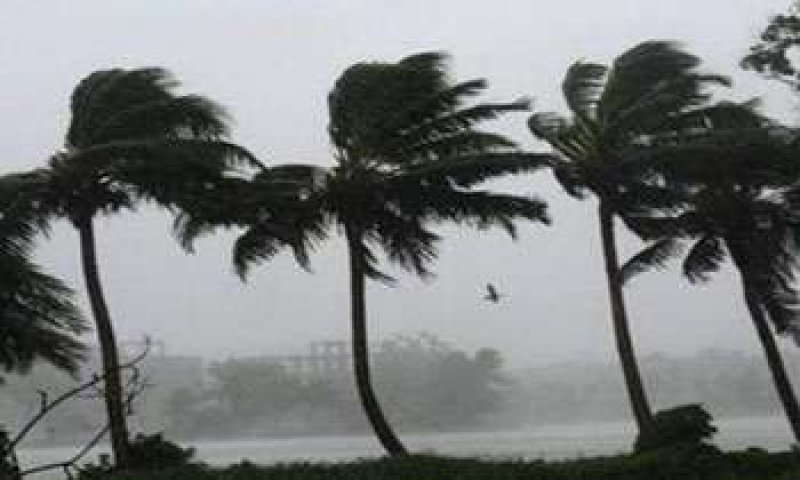
Strong winds of about (50-60) kmph can be expected at times over Western slopes of the central hills and in Western, Sabaragamuwa, Central, Southern, Northern, North-central and North-western provinces and in Trincomalee and Batticaloa districts.
The general public is kindly requested to take adequate precautions to minimize damages caused by temporary localized strong winds and lightning during thundershowers.
WEATHER FORECAST FOR SEA AREAS AROUND THE ISLAND DURING NEXT 24 HOURS
The deep depression over southeast Bay of Bengal & adjoining southwest Bay of Bengal moved west-northwestwards and intensified into a cyclonic storm ““Montha” and lay centered at 11.30 p.m. of 26th October 2025, over southwest & adjoining southeast Bay of Bengal, near latitude 11.6°N & longitude 85.9°E, about 610 km northeast of Mullaitivu.
It is likely to move nearly north-northwestwards and intensify into a severe cyclonic storm by morning of 28th October. Thereafter it is very likely to cross Andhra Pradesh coast during evening/night of 28th October as a severe cyclonic storm.
Naval and fishing communities are warned not to venture to the shallow sea areas off the coast extending from Kankasanthurai to Batticaloa via Trincomalee, until further notice.
Naval and fishing communities, engaging activities over the shallow sea areas off the coast extending from Galle to Pottuvil via Hambantota are requested to be vigilant in this regard.
Condition of Rain:
Showers or thundershowers will occur at several places in the sea areas off the coast extending from Trincomalee to Galle via Kankasanthurai, Mannar and Colombo.
Winds:
Winds will be westerly and speed will be (30-40) kmph. Wind speed can increase up to (50-60) kmph at times in the sea areas around the island.
State of Sea:
The sea areas around the island will be fairly rough and, rough at times.
Temporarily strong gusty winds and very rough seas can be expected during thundershowers.

