
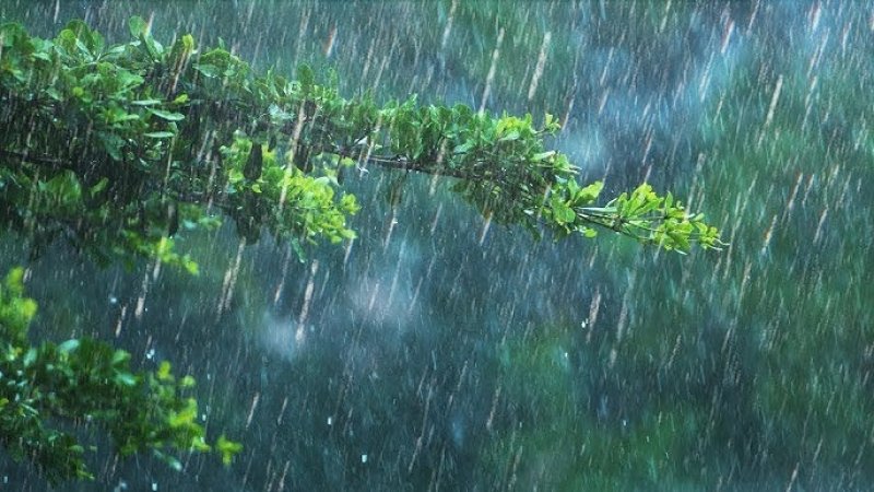
Heavy falls about 100 mm are likely at some districts

WATHER FORECAST FOR 10 JUNE 2025
General public is requested to be attentive to future forecasts issued by the Department of Meteorology in this regard.
Showers will occur at times in Western, Sabaragamuwa, Central and North-western provinces and in Galle and Matara districts.
Heavy falls about 100 mm are likely at some places in the Western and Sabaragamuwa provinces and in Nuwara-Eliya, Kandy, Galle and Matara districts.
Several spells of showers may occur in the Northern province and in Anuradhapura and Hambantota districts.
Showers or thundershowers may occur at a few places in the Badulla, Ampara and Batticaloa districts during the afternoon or night.
Strong winds of about 50 kmph can be expected at times over Western slopes of the central hills and in Northern, North-central, North-western and Southern provinces and in Trincomalee district.
The general public is kindly requested to take adequate precautions to minimize damages caused by temporary localized strong winds and lightning during thundershowers.
WEATHER FORECAST FOR SEA AREAS AROUND THE ISLAND DURING NEXT 24 HOURS Due to the effect of the active southwest monsoon condition, strong wind gust over the sea areas around the island is expected from today (10).
Naval and fishing communities are requested to be attentive to future forecasts issued by the Department of Meteorology in this regard.
Condition of Rain:
Showers will occur at several places in the sea areas off the coast extending from Puttalam to Hambantota via Colombo and Galle. Showers or thundershowers may occur at a few places over the other sea areas around thWinds:
Winds will be south-westerly.
wind speed will be (40-50) kmph and can increase up to (60-65) kmph at times in the sea areas off the coast extending from Chilaw to Kankasanthurai via Puttalam and Mannar and from Galle to Pottuvil via Hambantota.
Wind speed will be (30-40) kmph in the other sea areas around the island.
Wind speed can increase up to (50-55) kmph in the sea areas extending from Chilaw to Galle via Colombo and from Kankasanthurai to Trincomalee via Mullaittivu.
State of Sea:
The sea areas off the coast extending from Chilaw to Kankasanthurai via Puttalam and Mannar and from Galle to Pottuvil via Hambantota will be rough to very rough at times. The sea areas extending from Chilaw to Galle via Colombo and from Kankasanthurai to Trincomalee via Mullaittivu will be fairly rough to rough at times.
The wave height may increase (about 2.5 – 3.0 m) in the sea areas off the coast extending from Mannar to Pottuvil via Puttalam, Colombo, Galle and Hambantota (this is not for land area).
Naval and fishing communities are requested to be vigilant in this regard.
Temporarily strong wind gust and very rough seas can be expected during thundershowers.

