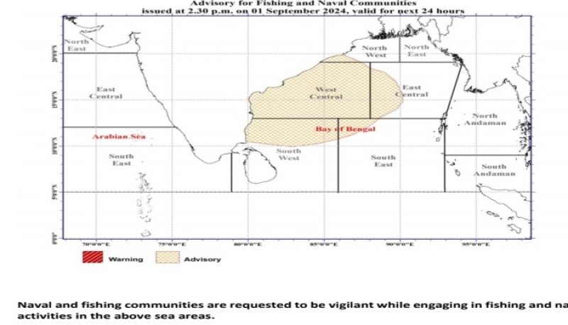
The Depression located over the West-central and adjoining northwest Bay of Bengal has crossed North Andhra Pradesh and adjoining south Odisha coasts of India. This system is gradually weakening.
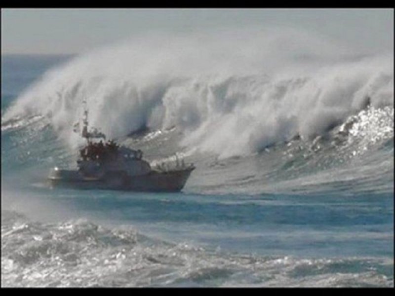
Very strong winds (70-80) kmph accompanied with heavy rainfalls and very rough seas are likely over above sea areas. Naval and fishing communities are advised not to venture into this sea area today (01 September).
 Weather
Showers or thundershowers will occur at times in the sea areas off the coast extending from Puttalam to Matara via Colombo and Galle. Showers or thundershowers may occur at a few places in the other sea areas around the island during the afternoon or night.
Winds will be south-westerly in direction and wind speed will be (30-40) kmph.
Wind speed can increase up to (55-60) kmph at times in the sea areas off the coasts extending from Trincomalee to Chilaw via Mullaittivu, Kankasanthurai, Mannar and Puttalam and from Hambantota to Pottuvil.
Wind speed can increase up to 50 kmph at times in the sea areas off the coasts extending from Chilaw to Hambantota via Colombo and Galle.
The sea areas off the coasts extending Trincomalee to Chilaw via Mullaittivu, Kankasanthurai, Mannar and Puttalam and from Hambantota to Pottuvil will be rough at times.
The sea areas off the coasts extending from Chilaw to Hambantota via Colombo and Galle may be fairly rough at times.
The wave height (about 2.0–2.5 m) (this is not for land area) may increase in the sea areas off the coast extending from Mannar to Matara via Colombo and Galle.
Temporarily strong gusty winds and very rough seas can be expected during thundershowers.