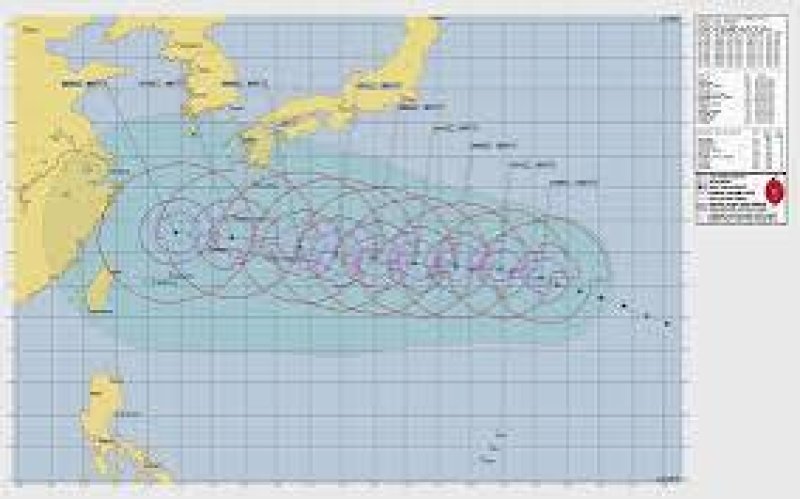

Typhoon Dolphin is heading westwards across the Pacific Ocean towards Japan, and residents of Okinawa Island have been urged to prepare for severe weather before its expected landfall this week.
Dolphin has taken a long voyage across the ocean, and as it approaches Japan, here’s what to expect in the coming days
According to Zoom Earth, Dolphin is a “very strong typhoon” that was moving at 185 kilometres per hour (115 miles per hour) at 05:00 GMT on Tuesday.
It grew out of a tropical depression that emerged on July 26, moving at 45km/h (30mph) over the open waters of the Central Pacific Ocean as it embarked on a journey of several thousand kilometres across the Pacific.
Over the course of its journey, Dolphin strengthened to a tropical storm and then to a severe tropical storm before burgeoning into a typhoon and then a very strong typhoon on July 28.
It briefly became even stronger, escalating to the levels of super typhoon and violent typhoon as it continued to move northwest from Wednesday to Saturday before weakening back to a very strong typhoon on Sunday.
The typhoon battered the outer Japanese Ogasawara Islands, also called the Bonin Islands – the first part of Japan it reached – with strong winds on Tuesday.
The Japan Meteorological Agency (JMA) issued typhoon warnings and advisories for the islands in advance and is currently tracking Dolphin, which it described as a “large and very strong” storm, as it makes its way from the south.