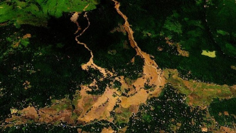
In a move to strengthen disaster preparedness, the Arthur C. Clarke Institute for Modern Technologies (ACCIMT) has leveraged satellite technology to map landslide and flood-prone areas across Sri Lanka following Cyclone Ditwah.
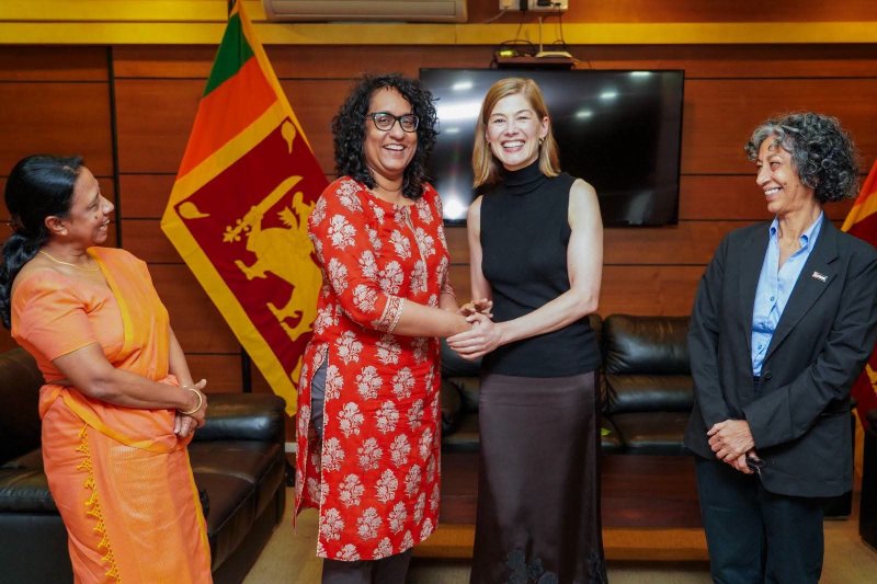
ACCIMT Director General, Mrs. Kumari Meegahakotuwa, said the institute identified approximately 4,800 landslide-prone locations, with the central hills emerging as the most affected region. She emphasized that historically, Sri Lanka has often responded to landslides and floods only after they occur, highlighting the need for proactive measures.
“We are now providing satellite-based maps to disaster management agencies, universities, and other relevant institutions through the Ministry of Science and Technology. This will enable authorities to take timely preventive actions,” Mrs. Meegahakotuwa explained.
The ACCIMT has also produced detailed inundation maps showing areas submerged during floods, helping officials determine which communities may need to be relocated from high-risk zones.
Experts say the integration of satellite technology into disaster planning marks a significant step toward a more proactive and data-driven approach to natural disaster management in Sri Lanka.