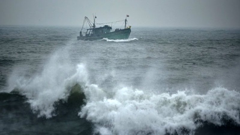
A depression located in the Bay of Bengal to the southeast of Sri Lanka is expected to move closer to the island within the next 24 hours, the Department of Meteorology said.
The system was centred at around 11.30 p.m. yesterday (07), approximately 490 kilometres southeast of Pottuvil, near latitude 5.3°N and longitude 86.0°E. It is forecast to move westwards and northwestwards and reach the eastern coast of Sri Lanka during the next day.
According to the Meteorological Department, the depression is very likely to intensify into a deep depression within the next 12 hours.
As a precautionary measure, fishing and navigation activities in both deep and shallow sea areas around the island are advised to be suspended from today (08) until further notice. The Department has urged the fishing and maritime communities to closely follow future weather advisories.
Showers or thundershowers are expected at times in the sea areas off the coast from Mannar to Kankesanthurai, Trincomalee, Pottuvil, and from Hambantota to Galle. In the remaining sea areas around the island, showers or thundershowers may occur during the evening or night.
Winds are expected to blow from the northeast at speeds of 35–45 kmph, with gusts increasing up to 60–70 kmph at times in the sea areas around the island.
The sea areas around Sri Lanka are forecast to be rough to very rough at times. Sea waves may rise to heights of about 2.5 to 3.5 metres in the sea areas off the coast from Kankesanthurai to Trincomalee and from Pottuvil to Hambantota.
The Department further warned that temporary strong winds may occur during thundershowers, causing sea conditions to become temporarily very rough in affected areas.