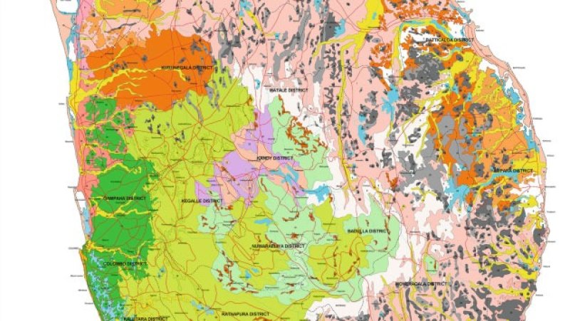
Sri Lanka’s Survey Department is preparing for a major overhaul of the country’s land-use maps after Cyclone Ditwah caused significant changes to the upcountry landscape, especially in zones affected by landslides, Surveyor General N.K.U. Rohana said.
According to Rohana, the department will launch an extensive re-mapping effort using high-resolution satellite images to accurately assess the extent of geological changes. The updated imagery will be crucial in identifying landslide-prone areas, damaged river basins, and affected agricultural lands.
He noted that the most severe impact is on the geological structure rather than on the outer landscape, though some communities may require resettlement depending on the findings.
The Survey Department has already collected low-resolution satellite images from multiple disaster-hit provinces and initiated preliminary assessments. High-quality close-up images, however, require significant funding and will be obtained once the disaster situation stabilizes and floodwaters recede.
Rohana said international assistance is being sought to secure these high-resolution images through diplomatic channels. China, India, Japan, the United States, and Russia have been approached, with China already providing a set of close-up images showing flooded and landslide-affected zones. Additional imagery will be processed once weather conditions improve.
He added that a new national-level land-use map is now being prepared as part of a broader effort to understand the long-term environmental changes triggered by the cyclone.