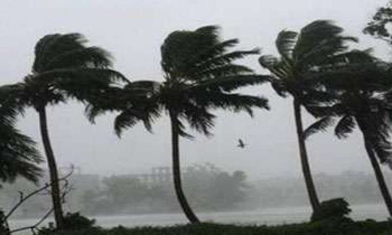
The Department of Meteorology has issued a weather advisory for Tuesday, June 3, 2025, warning the public of several spells of showers and strong winds across various parts of the island, as well as potentially rough sea conditions.
Rainfall and Thunderstorms: Showers are expected in the Western, Sabaragamuwa, Central, and North-Western provinces, along with Galle and Matara districts. Additionally, thundershowers may occur during the afternoon or night in parts of Uva Province and in the Ampara and Batticaloa districts.
Wind Conditions: Fairly strong winds, ranging from 30 to 40 kmph, are likely at times over the western slopes of the central hills and across the Northern, North-Central, North-Western, and Southern provinces, as well as the Trincomalee district.
Public Advisory: Authorities urge the public to take adequate precautions to minimize potential damages caused by strong winds and lightning, particularly during thundershowers.
Marine Weather Forecast: Rough Seas Ahead
Showers or thundershowers are expected over the sea areas stretching from Puttalam to Hambantota via Colombo and Galle, while mainly fair weather will prevail in other sea regions.
Wind Patterns and Speed:
Winds will be south-westerly at 30-40 kmph.
Wind speeds may increase up to 50 kmph in the sea areas off the coast from Chilaw to Kankasanthurai via Puttalam and Mannar, and from Galle to Pottuvil via Hambantota.
Speeds will remain at 20-30 kmph in other areas but may rise to 45 kmph from Chilaw to Galle via Colombo and from Kankasanthurai to Trincomalee via Mullaittivu.
Sea Conditions:
Seas off the coasts from Chilaw to Kankasanthurai and from Galle to Pottuvil are expected to be rough at times.
Waters between Chilaw and Galle via Colombo and from Kankasanthurai to Trincomalee via Mullaittivu may be fairly rough at times.
Mariners are warned of temporarily strong gusts and very rough seas during thundershowers.
Safety Notice: Fishermen and naval personnel are strongly advised to remain alert and exercise caution when venturing into sea areas, especially those identified as rough.
Stay tuned for further updates from the Department of Meteorology.